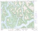
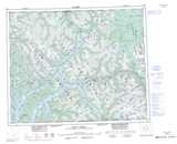
Maps showing Benrot Island, Range 3 Coast Land District, British Columbia
Benrot Island is a Island located in Range 3 Coast Land District, British Columbia.
- Latitude: 52° 21' 20'' North (decimal: 52.355556)
- Longitude: 127° 43' 25'' West (decimal: -127.7236098)
- Topography Feature Category: Island
- Geographical Feature: Islet
- Canadian Province/Territory: British Columbia
- Location: Range 3 Coast Land District
- Atlas of Canada Locator Map: Benrot Island
- GPS Coordinate Locator Map: Benrot Island Lat/Long
Benrot Island NTS Map Sheets