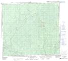
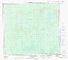
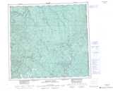
Maps showing Big Arrow Creek, Peace River Land District, British Columbia
Big Arrow Creek is a River located in Peace River Land District, British Columbia and has an elevation of 672 meters.
- Latitude: 57° 2' 35'' North (decimal: 57.0430555)
- Longitude: 120° 56' 13'' West (decimal: -120.9369444)
- Topography Feature Category: River
- Geographical Feature: Creek
- Canadian Province/Territory: British Columbia
- Elevation: 672 meters
- Location: Peace River Land District
- Atlas of Canada Locator Map: Big Arrow Creek
- GPS Coordinate Locator Map: Big Arrow Creek Lat/Long
Big Arrow Creek NTS Map Sheets