Canada Topographic Maps

Kiskatinaw River Topo Maps

Topography maps and Latitude/Longitude Location

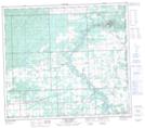
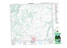
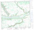
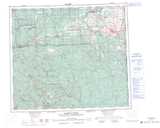
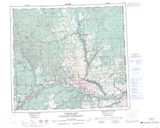
Maps showing Kiskatinaw River, Peace River Land District, British Columbia

Kiskatinaw River is a River located in Peace River Land District, British Columbia and has an elevation of 463 meters.

  • Latitude: 56° 5' 26'' North   (decimal: 56.0905556)
  • Longitude: 120° 9' 54'' West   (decimal: -120.165)
  • Topography Feature Category: River
  • Geographical Feature: River
  • Canadian Province/Territory: British Columbia
  • Elevation: 463 meters
  • Location: Peace River Land District
  • Atlas of Canada Locator Map: Kiskatinaw River
  • GPS Coordinate Locator Map: Kiskatinaw River Lat/Long

Kiskatinaw River NTS Map Sheets

093P01 Blackhawk Lake Topographic Map at 1:50,000 scale

093P02 Tumbler Ridge Topographic Map at 1:50,000 scale

093P08 Tupper Creek Topographic Map at 1:50,000 scale

093P09 Pouce Coupe Topographic Map at 1:50,000 scale

093P10 Arras Topographic Map at 1:50,000 scale

093P15 Sunset Prairie Topographic Map at 1:50,000 scale

093P16 Dawson Creek Topographic Map at 1:50,000 scale

094A01 Shearer Dale Topographic Map at 1:50,000 scale

093P Dawson Creek Topographic Map at 1:250,000 scale

094A Charlie Lake Topographic Map at 1:250,000 scale

 
Buy Topographic Maps DVD
Newsletter Sign-up

Yes, I want to receive map store discounts.


Bookmark and Share