Maps showing Kiwigana River, Peace River Land District, British Columbia
Kiwigana River is a River located in Peace River Land District, British Columbia and has an elevation of 269 meters.
- Latitude: 59° 14' 22'' North (decimal: 59.2394444)
- Longitude: 123° 9' 49'' West (decimal: -123.163611)
- Topography Feature Category: River
- Geographical Feature: River
- Canadian Province/Territory: British Columbia
- Elevation: 269 meters
- Location: Peace River Land District
- Atlas of Canada Locator Map: Kiwigana River
- GPS Coordinate Locator Map: Kiwigana River Lat/Long
Kiwigana River NTS Map Sheets
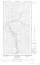
094O03E Stanolind Creek Topographic Map at 1:50,000 scale
094O03W Stanolind Creek Topographic Map at 1:50,000 scale
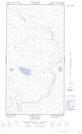
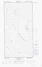
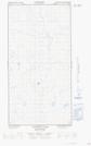
094O06E Patry Lake Topographic Map at 1:50,000 scale
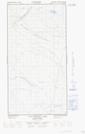
094O06W Patry Lake Topographic Map at 1:50,000 scale
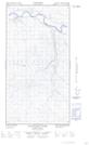
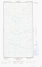
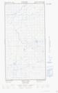
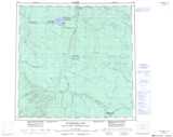
094O07E Kiwigana River Topographic Map at 1:50,000 scale
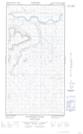
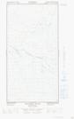
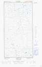
094O07W Kiwigana River Topographic Map at 1:50,000 scale
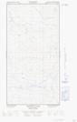
094O08E Two Island Lake Topographic Map at 1:50,000 scale
094O08W Two Island Lake Topographic Map at 1:50,000 scale
094O09E Trail Lake Topographic Map at 1:50,000 scale
094O09W Trail Lake Topographic Map at 1:50,000 scale
094O10E Tightfit Lake Topographic Map at 1:50,000 scale
094O10W Tightfit Lake Topographic Map at 1:50,000 scale
094O Maxhamish Lake Topographic Map at 1:250,000 scale