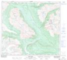
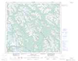
Maps showing Gilbert Lake, Cassiar Land District, British Columbia
Gilbert Lake is a Lake located in Cassiar Land District, British Columbia and has an elevation of 596 meters.
- Latitude: 56° 33' 33'' North (decimal: 56.5591666)
- Longitude: 129° 48' 26'' West (decimal: -129.8072222)
- Topography Feature Category: Lake
- Geographical Feature: Lake
- Canadian Province/Territory: British Columbia
- Elevation: 596 meters
- Location: Cassiar Land District
- Atlas of Canada Locator Map: Gilbert Lake
- GPS Coordinate Locator Map: Gilbert Lake Lat/Long
Gilbert Lake NTS Map Sheets