Maps showing Kotcho River, Peace River Land District, British Columbia
Kotcho River is a River located in Peace River Land District, British Columbia.
- Latitude: 58° 45' North (decimal: 58.7500000)
- Longitude: 120° 10' West (decimal: -120.1666999)
- Topography Feature Category: River
- Geographical Feature: River
- Canadian Province/Territory: British Columbia
- Location: Peace River Land District
- Atlas of Canada Locator Map: Kotcho River
- GPS Coordinate Locator Map: Kotcho River Lat/Long
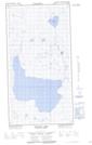
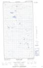
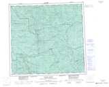
Kotcho River NTS Map Sheets
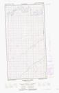
094I09E Timberwolf Creek Topographic Map at 1:50,000 scale
094I09W Timberwolf Creek Topographic Map at 1:50,000 scale
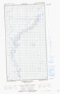
094I10E Townsoitoi Creek Topographic Map at 1:50,000 scale
094I10W Townsoitoi Creek Topographic Map at 1:50,000 scale
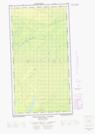
094I14E Lichen Creek Topographic Map at 1:50,000 scale
094I14W Lichen Creek Topographic Map at 1:50,000 scale
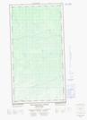
094I15E Datcin Creek Topographic Map at 1:50,000 scale
094I15W Datcin Creek Topographic Map at 1:50,000 scale
094I16E Shekilie River Topographic Map at 1:50,000 scale
094I16W Shekilie River Topographic Map at 1:50,000 scale
094P03E Kotcho Lake Topographic Map at 1:50,000 scale
094P03W Kotcho Lake Topographic Map at 1:50,000 scale
094I Fontas River Topographic Map at 1:250,000 scale
094P Petitot River Topographic Map at 1:250,000 scale