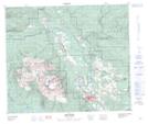
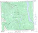
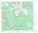
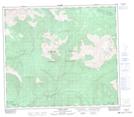
Maps showing Harold Price Creek, Cassiar Land District, British Columbia
Harold Price Creek is a River located in Cassiar Land District, British Columbia and has an elevation of 756 meters.
- Latitude: 55° 16' 37'' North (decimal: 55.2769444)
- Longitude: 127° 10' 9'' West (decimal: -127.169167)
- Topography Feature Category: River
- Geographical Feature: Creek
- Canadian Province/Territory: British Columbia
- Elevation: 756 meters
- Location: Cassiar Land District
- Atlas of Canada Locator Map: Harold Price Creek
- GPS Coordinate Locator Map: Harold Price Creek Lat/Long
Harold Price Creek NTS Map Sheets