Maps showing Dean River, Range 3 Coast Land District, British Columbia
Dean River is a River located in Range 3 Coast Land District, British Columbia and has an elevation of 512 meters.
- Latitude: 52° 48' North (decimal: 52.7999999)
- Longitude: 126° 58' West (decimal: -126.9667000)
- Topography Feature Category: River
- Geographical Feature: River
- Canadian Province/Territory: British Columbia
- Elevation: 512 meters
- Location: Range 3 Coast Land District
- Atlas of Canada Locator Map: Dean River
- GPS Coordinate Locator Map: Dean River Lat/Long
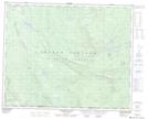
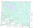
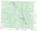
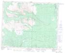
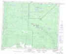
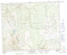
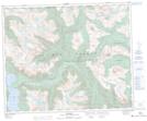
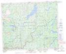
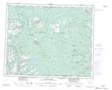
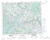
Dean River NTS Map Sheets
093C02 Chantslar Lake Topographic Map at 1:50,000 scale
093C03 Charlotte Lake Topographic Map at 1:50,000 scale
093C06 Anahim Lake Topographic Map at 1:50,000 scale
093C11 Christensen Creek Topographic Map at 1:50,000 scale
093C12 Tusulko River Topographic Map at 1:50,000 scale
093C13 Ulkatcho Topographic Map at 1:50,000 scale
093D09 Tahyesco River Topographic Map at 1:50,000 scale
093D15 Kimsquit Topographic Map at 1:50,000 scale
093D16 Sigutlat Lake Topographic Map at 1:50,000 scale
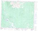
093C Anahim Lake Topographic Map at 1:250,000 scale
093D Bella Coola Topographic Map at 1:250,000 scale