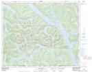
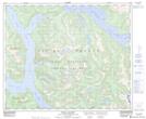
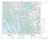
Maps showing Elephant Head Point, Range 4 Coast Land District, British Columbia
Elephant Head Point is a Cape located in Range 4 Coast Land District, British Columbia and has an elevation of 77 meters.
- Latitude: 53° 14' 59'' North (decimal: 53.2497222)
- Longitude: 128° 50' 45'' West (decimal: -128.8458333)
- Topography Feature Category: Cape
- Geographical Feature: Point
- Canadian Province/Territory: British Columbia
- Elevation: 77 meters
- Location: Range 4 Coast Land District
- Atlas of Canada Locator Map: Elephant Head Point
- GPS Coordinate Locator Map: Elephant Head Point Lat/Long
Elephant Head Point NTS Map Sheets