Canada Topographic Maps

Clearwater River Topo Maps

Topography maps and Latitude/Longitude Location

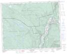
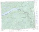
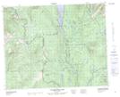
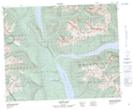
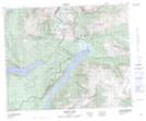
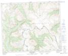
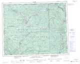
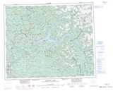
Maps showing Clearwater River, Kamloops Division Yale Land District, British Columbia

Clearwater River is a River located in Kamloops Division Yale Land District, British Columbia and has an elevation of 420 meters.

  • Latitude: 51° 38' North   (decimal: 51.6333000)
  • Longitude: 120° 5' West   (decimal: -120.0832999)
  • Topography Feature Category: River
  • Geographical Feature: River
  • Canadian Province/Territory: British Columbia
  • Elevation: 420 meters
  • Location: Kamloops Division Yale Land District
  • Atlas of Canada Locator Map: Clearwater River
  • GPS Coordinate Locator Map: Clearwater River Lat/Long

Clearwater River NTS Map Sheets

092P09 Clearwater Topographic Map at 1:50,000 scale

092P16 Mahood Lake Topographic Map at 1:50,000 scale

093A01 Clearwater Lake Topographic Map at 1:50,000 scale

093A08 Azure Lake Topographic Map at 1:50,000 scale

093A09 Hobson Lake Topographic Map at 1:50,000 scale

093A16 Mount Winder Topographic Map at 1:50,000 scale

092P Bonaparte Lake Topographic Map at 1:250,000 scale

093A Quesnel Lake Topographic Map at 1:250,000 scale

 
Buy Topographic Maps DVD
Newsletter Sign-up

Yes, I want to receive map store discounts.


Bookmark and Share