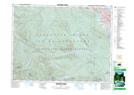
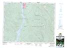
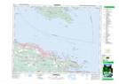
Maps showing Englishman River, Nanoose Land District, British Columbia
Englishman River is a River located in Nanoose Land District, British Columbia and has an elevation of 457 meters.
- Latitude: 49° 19' 32'' North (decimal: 49.3255555)
- Longitude: 124° 17' 30'' West (decimal: -124.2916666)
- Topography Feature Category: River
- Geographical Feature: River
- Canadian Province/Territory: British Columbia
- Elevation: 457 meters
- Location: Nanoose Land District
- Atlas of Canada Locator Map: Englishman River
- GPS Coordinate Locator Map: Englishman River Lat/Long
Englishman River NTS Map Sheets