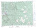
Maps showing Jessica, Yale Division Yale Land District, British Columbia
Jessica is a Unincorporated area located in Yale Division Yale Land District, British Columbia.
- Latitude: 49° 27' North (decimal: 49.4500000)
- Longitude: 121° 15' West (decimal: -121.2499999)
- Topography Feature Category: Unincorporated area
- Geographical Feature: Station
- Canadian Province/Territory: British Columbia
- Location: Yale Division Yale Land District
- GPS Coordinate Locator Map: Jessica Lat/Long