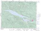
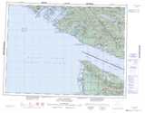
Maps showing Mount Good, Cowichan Lake Land District, British Columbia
Mount Good is a Mountain located in Cowichan Lake Land District, British Columbia and has an elevation of 866 meters.
- Latitude: 48° 52' 35'' North (decimal: 48.8763888)
- Longitude: 124° 8' 16'' West (decimal: -124.1377777)
- Topography Feature Category: Mountain
- Geographical Feature: Mount
- Canadian Province/Territory: British Columbia
- Elevation: 866 meters
- Location: Cowichan Lake Land District
- Atlas of Canada Locator Map: Mount Good
- GPS Coordinate Locator Map: Mount Good Lat/Long
Mount Good NTS Map Sheets