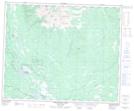
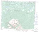
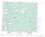
Maps showing Campanula Peak, Range 3 Coast Land District, British Columbia
Campanula Peak is a Mountain located in Range 3 Coast Land District, British Columbia and has an elevation of 2032 meters.
- Latitude: 52° 44' 58'' North (decimal: 52.7494444)
- Longitude: 125° 20' 43'' West (decimal: -125.3452777)
- Topography Feature Category: Mountain
- Geographical Feature: Peak
- Canadian Province/Territory: British Columbia
- Elevation: 2032 meters
- Location: Range 3 Coast Land District
- Atlas of Canada Locator Map: Campanula Peak
- GPS Coordinate Locator Map: Campanula Peak Lat/Long
Campanula Peak NTS Map Sheets