Canada Topographic Maps

Etsho Escarpment Topo Maps

Topography maps and Latitude/Longitude Location

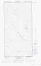
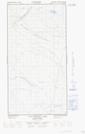
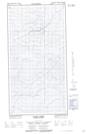
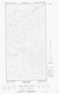
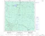
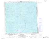
Maps showing Etsho Escarpment, Peace River Land District, British Columbia

Etsho Escarpment is a Cliff located in Peace River Land District, British Columbia.

  • Latitude: 59° 19' 51'' North   (decimal: 59.3308333)
  • Longitude: 122° 2' 11'' West   (decimal: -122.036389)
  • Topography Feature Category: Cliff
  • Geographical Feature: Escarpment
  • Canadian Province/Territory: British Columbia
  • Location: Peace River Land District
  • Atlas of Canada Locator Map: Etsho Escarpment
  • GPS Coordinate Locator Map: Etsho Escarpment Lat/Long

Etsho Escarpment NTS Map Sheets

094O08E Two Island Lake Topographic Map at 1:50,000 scale

094O08W Two Island Lake Topographic Map at 1:50,000 scale

094P05E Komie Creek Topographic Map at 1:50,000 scale

094P05W Komie Creek Topographic Map at 1:50,000 scale

094O Maxhamish Lake Topographic Map at 1:250,000 scale

094P Petitot River Topographic Map at 1:250,000 scale

 
Buy Topographic Maps DVD
Newsletter Sign-up

Yes, I want to receive map store discounts.


Bookmark and Share