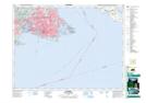
Maps showing Caroline Reef, Victoria Land District, British Columbia
Caroline Reef is a Shoal located in Victoria Land District, British Columbia.
- Latitude: 48° 26' North (decimal: 48.4332999)
- Longitude: 123° 16' West (decimal: -123.2667000)
- Topography Feature Category: Shoal
- Geographical Feature: Reef
- Canadian Province/Territory: British Columbia
- Location: Victoria Land District
- GPS Coordinate Locator Map: Caroline Reef Lat/Long