Maps showing Graham River, Peace River Land District, British Columbia
Graham River is a River located in Peace River Land District, British Columbia.
- Latitude: 56° 30' 20'' North (decimal: 56.5056000)
- Longitude: 122° 14' 00'' West (decimal: -122.2332999)
- Topography Feature Category: River
- Geographical Feature: River
- Canadian Province/Territory: British Columbia
- Location: Peace River Land District
- Atlas of Canada Locator Map: Graham River
- GPS Coordinate Locator Map: Graham River Lat/Long
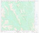
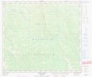
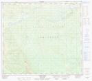
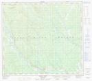
Graham River NTS Map Sheets
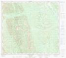
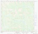
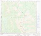
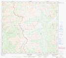
094B05 Gauvreau Creek Topographic Map at 1:50,000 scale
094B06 Emerslund Lakes Topographic Map at 1:50,000 scale
094B07 Hackney Hills Topographic Map at 1:50,000 scale
094B08 Kobes Creek Topographic Map at 1:50,000 scale
094B09 Aikman Creek Topographic Map at 1:50,000 scale
094B10 Chowade River Topographic Map at 1:50,000 scale
094B11 Christina Falls Topographic Map at 1:50,000 scale
094B12 Mount Lady Laurier Topographic Map at 1:50,000 scale
094B13 Mount Robb Topographic Map at 1:50,000 scale
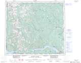
094B Halfway River Topographic Map at 1:250,000 scale