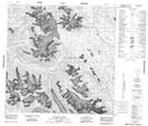
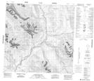
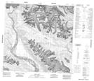
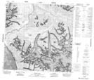
Maps showing Alsek Ranges, Cassiar Land District, British Columbia
Alsek Ranges is a Mountain located in Cassiar Land District, British Columbia and has an elevation of 1993 meters.
- Latitude: 59° 31' North (decimal: 59.5167000)
- Longitude: 137° 22' West (decimal: -137.3667000)
- Topography Feature Category: Mountain
- Geographical Feature: Ranges
- Canadian Province/Territory: British Columbia
- Elevation: 1993 meters
- Location: Cassiar Land District
- Atlas of Canada Locator Map: Alsek Ranges
- GPS Coordinate Locator Map: Alsek Ranges Lat/Long
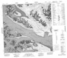
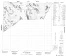
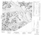
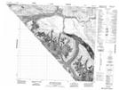
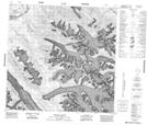
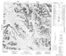
Alsek Ranges NTS Map Sheets
114O16 Super Cub Lake Topographic Map at 1:50,000 scale
114P02 Carroll Glacier Topographic Map at 1:50,000 scale
114P03 Grand Pacific Glacier Topographic Map at 1:50,000 scale
114P05 Konamoxt Glacier Topographic Map at 1:50,000 scale
114P06 Pentice Ridge Topographic Map at 1:50,000 scale
114P07 Tsirku Glacier Topographic Map at 1:50,000 scale
114P08 Mount Henry Clay Topographic Map at 1:50,000 scale
114P09 Kelsall River Topographic Map at 1:50,000 scale
114P10 Nadahini Creek Topographic Map at 1:50,000 scale
114P11 Carmine Mountain Topographic Map at 1:50,000 scale
114P12 Tats Lake Topographic Map at 1:50,000 scale
114P13 Range Lake Topographic Map at 1:50,000 scale
114P14 Survey Lake Topographic Map at 1:50,000 scale
114P15 Parton River Topographic Map at 1:50,000 scale
114O Yakutat Topographic Map at 1:250,000 scale
114P Tatshenshini River Topographic Map at 1:250,000 scale