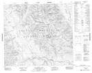
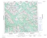
Maps showing Babiche Hill, Cassiar Land District, British Columbia
Babiche Hill is a Mountain located in Cassiar Land District, British Columbia.
- Latitude: 56° 17' 51'' North (decimal: 56.2975)
- Longitude: 127° 48' 11'' West (decimal: -127.803056)
- Topography Feature Category: Mountain
- Geographical Feature: Hill
- Canadian Province/Territory: British Columbia
- Location: Cassiar Land District
- Atlas of Canada Locator Map: Babiche Hill
- GPS Coordinate Locator Map: Babiche Hill Lat/Long
Babiche Hill NTS Map Sheets