Maps showing Finlay River, Cassiar Land District, British Columbia
Finlay River is a River located in Cassiar Land District, British Columbia.
- Latitude: 56° 54' North (decimal: 56.8999999)
- Longitude: 124° 57' West (decimal: -124.9500000)
- Topography Feature Category: River
- Geographical Feature: River
- Canadian Province/Territory: British Columbia
- Location: Cassiar Land District
- Atlas of Canada Locator Map: Finlay River
- GPS Coordinate Locator Map: Finlay River Lat/Long
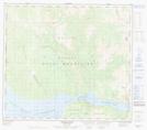
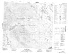
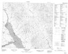
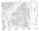
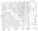
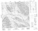
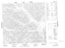
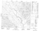
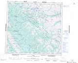
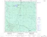
Finlay River NTS Map Sheets
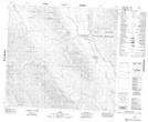
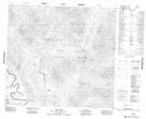
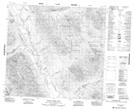
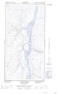
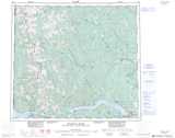
094B04 Wicked River Topographic Map at 1:50,000 scale
094C14 Ed Bird Creek Topographic Map at 1:50,000 scale
094C15 Chowika Creek Topographic Map at 1:50,000 scale
094E02 Attycelley Creek Topographic Map at 1:50,000 scale
094E07 Mount Katharine Topographic Map at 1:50,000 scale
094E09 Cutoff Creek Topographic Map at 1:50,000 scale
094E10 Mount Cushing Topographic Map at 1:50,000 scale
094F03 Truncate Creek Topographic Map at 1:50,000 scale
094F05 Ware Topographic Map at 1:50,000 scale
094F06 Paul River Topographic Map at 1:50,000 scale
094F12 Mount Chief Davie Topographic Map at 1:50,000 scale
094O13E Sandy Creek Topographic Map at 1:50,000 scale
094O13W Sandy Creek Topographic Map at 1:50,000 scale
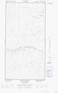
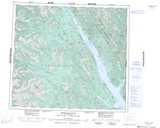
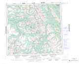
094B Halfway River Topographic Map at 1:250,000 scale
094C Mesilinka River Topographic Map at 1:250,000 scale
094E Toodoggone River Topographic Map at 1:250,000 scale
094F Ware Topographic Map at 1:250,000 scale
094O Maxhamish Lake Topographic Map at 1:250,000 scale