Maps showing Fontas River, Peace River Land District, British Columbia
Fontas River is a River located in Peace River Land District, British Columbia.
- Latitude: 58° 17' 10'' North (decimal: 58.2861000)
- Longitude: 121° 45' 0'' West (decimal: -121.7500000)
- Topography Feature Category: River
- Geographical Feature: River
- Canadian Province/Territory: British Columbia
- Location: Peace River Land District
- Atlas of Canada Locator Map: Fontas River
- GPS Coordinate Locator Map: Fontas River Lat/Long
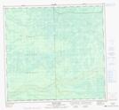
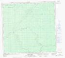
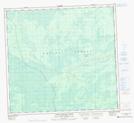
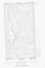
Fontas River NTS Map Sheets
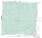
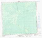
084E13 Foulwater Creek Topographic Map at 1:50,000 scale
094H16 Etthithun Lake Topographic Map at 1:50,000 scale
094I01 Beaverskin Creek Topographic Map at 1:50,000 scale
094I05 Fontas Topographic Map at 1:50,000 scale
094I06 Elleh Lake Topographic Map at 1:50,000 scale
094I07 Ekwan Creek Topographic Map at 1:50,000 scale
094I08 Little Buffalo River Topographic Map at 1:50,000 scale
094I16E Shekilie River Topographic Map at 1:50,000 scale
094I16W Shekilie River Topographic Map at 1:50,000 scale
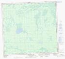
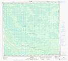
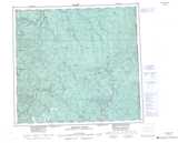
084E Chinchaga River Topographic Map at 1:250,000 scale
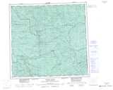
094H Beatton River Topographic Map at 1:250,000 scale
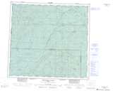
094I Fontas River Topographic Map at 1:250,000 scale