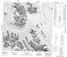
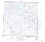
Maps showing Copper Butte, Cassiar Land District, British Columbia
Copper Butte is a Mountain located in Cassiar Land District, British Columbia and has an elevation of 1092 meters.
- Latitude: 59° 34' 15'' North (decimal: 59.5708333)
- Longitude: 136° 33' 25'' West (decimal: -136.556944)
- Topography Feature Category: Mountain
- Geographical Feature: Butte
- Canadian Province/Territory: British Columbia
- Elevation: 1092 meters
- Location: Cassiar Land District
- Atlas of Canada Locator Map: Copper Butte
- GPS Coordinate Locator Map: Copper Butte Lat/Long
Copper Butte NTS Map Sheets