Maps showing Sahdoanah Creek, Peace River Land District, British Columbia
Sahdoanah Creek is a River located in Peace River Land District, British Columbia and has an elevation of 627 meters.
- Latitude: 59° 36' North (decimal: 59.5999999)
- Longitude: 121° 13' West (decimal: -121.2166999)
- Topography Feature Category: River
- Geographical Feature: Creek
- Canadian Province/Territory: British Columbia
- Elevation: 627 meters
- Location: Peace River Land District
- Atlas of Canada Locator Map: Sahdoanah Creek
- GPS Coordinate Locator Map: Sahdoanah Creek Lat/Long
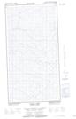
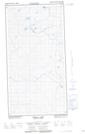
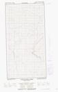
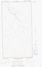
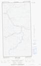
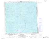
Sahdoanah Creek NTS Map Sheets
094P02E Tooga Lake Topographic Map at 1:50,000 scale
094P02W Tooga Lake Topographic Map at 1:50,000 scale
094P06E Thetlaandoa Creek Topographic Map at 1:50,000 scale
094P06W Thetlaandoa Creek Topographic Map at 1:50,000 scale
094P07E Kwokwullie Lake Topographic Map at 1:50,000 scale
094P07W Kwokwullie Lake Topographic Map at 1:50,000 scale
094P10E Kimea Creek Topographic Map at 1:50,000 scale
094P10W Kimea Creek Topographic Map at 1:50,000 scale
094P11E Etset Lake Topographic Map at 1:50,000 scale
094P11W Etset Lake Topographic Map at 1:50,000 scale
094P Petitot River Topographic Map at 1:250,000 scale