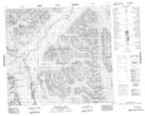
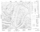
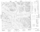
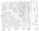
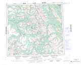
Maps showing Samuel Black Range, Cassiar Land District, British Columbia
Samuel Black Range is a Mountain located in Cassiar Land District, British Columbia.
- Latitude: 57° 17' 00'' North (decimal: 57.2833333)
- Longitude: 126° 58' 0'' West (decimal: -126.966667)
- Topography Feature Category: Mountain
- Geographical Feature: Range
- Canadian Province/Territory: British Columbia
- Location: Cassiar Land District
- Atlas of Canada Locator Map: Samuel Black Range
- GPS Coordinate Locator Map: Samuel Black Range Lat/Long
Samuel Black Range NTS Map Sheets