Canada Topographic Maps

Nisutlin Plateau Topo Maps

Topography maps and Latitude/Longitude Location

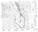
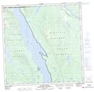
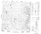
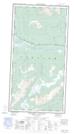
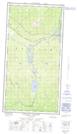
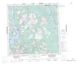
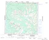
Maps showing Nisutlin Plateau, Cassiar Land District, British Columbia

Nisutlin Plateau is a Plain located in Cassiar Land District, British Columbia and has an elevation of 1140 meters.

  • Latitude: 59° 50' North   (decimal: 59.8333000)
  • Longitude: 132° 00' West   (decimal: -131.9999999)
  • Topography Feature Category: Plain
  • Geographical Feature: Plateau
  • Canadian Province/Territory: British Columbia
  • Elevation: 1140 meters
  • Location: Cassiar Land District
  • Atlas of Canada Locator Map: Nisutlin Plateau
  • GPS Coordinate Locator Map: Nisutlin Plateau Lat/Long

Nisutlin Plateau NTS Map Sheets

104N09 Goodwin Creek Topographic Map at 1:50,000 scale

104N16 Gladys River Topographic Map at 1:50,000 scale

104O12 No Title Topographic Map at 1:50,000 scale

104O13E Smart River Topographic Map at 1:50,000 scale

104O13W Smart River Topographic Map at 1:50,000 scale

104N Atlin Topographic Map at 1:250,000 scale

104O Jennings River Topographic Map at 1:250,000 scale

 
Buy Topographic Maps DVD
Newsletter Sign-up

Yes, I want to receive map store discounts.


Bookmark and Share