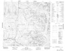
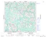
Maps showing Thenatlodi Mountain, Cassiar Land District, British Columbia
Thenatlodi Mountain is a Mountain located in Cassiar Land District, British Columbia and has an elevation of 1644 meters.
- Latitude: 58° 11' 2'' North (decimal: 58.1838888)
- Longitude: 129° 59' 36'' West (decimal: -129.9933333)
- Topography Feature Category: Mountain
- Geographical Feature: Mountain
- Canadian Province/Territory: British Columbia
- Elevation: 1644 meters
- Location: Cassiar Land District
- Atlas of Canada Locator Map: Thenatlodi Mountain
- GPS Coordinate Locator Map: Thenatlodi Mountain Lat/Long