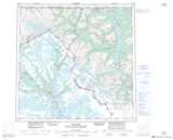
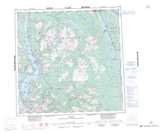
Maps showing Teslin Plateau, Cassiar Land District, British Columbia
Teslin Plateau is a Plain located in Cassiar Land District, British Columbia and has an elevation of 1042 meters.
- Latitude: 59° 40' North (decimal: 59.6667000)
- Longitude: 132° 55' West (decimal: -132.9166999)
- Topography Feature Category: Plain
- Geographical Feature: Plateau
- Canadian Province/Territory: British Columbia
- Elevation: 1042 meters
- Location: Cassiar Land District
- Atlas of Canada Locator Map: Teslin Plateau
- GPS Coordinate Locator Map: Teslin Plateau Lat/Long
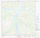
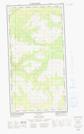
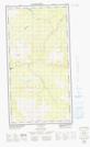
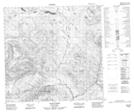
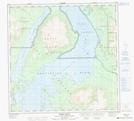
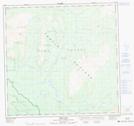
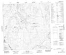
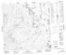
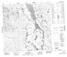
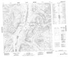
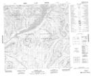
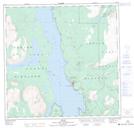
Teslin Plateau NTS Map Sheets
104M16 Turtle Lake Topographic Map at 1:50,000 scale
104N02E Nakina Topographic Map at 1:50,000 scale
104N02W Nakina Topographic Map at 1:50,000 scale
104N03 Sloko River Topographic Map at 1:50,000 scale
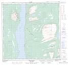
104N05 Teresa Island Topographic Map at 1:50,000 scale
104N06 Dixie Lake Topographic Map at 1:50,000 scale
104N07 Bell Lake Topographic Map at 1:50,000 scale
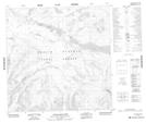
104N08 Hayes Peak Topographic Map at 1:50,000 scale
104N09 Goodwin Creek Topographic Map at 1:50,000 scale
104N10 Eva Lake Topographic Map at 1:50,000 scale
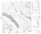
104N11 Surprise Lake Topographic Map at 1:50,000 scale
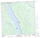
104N12 Atlin Topographic Map at 1:50,000 scale
104N13 Mount Minto Topographic Map at 1:50,000 scale
104N14 Consolation Creek Topographic Map at 1:50,000 scale
104N15 Gladys Lake Topographic Map at 1:50,000 scale
104N16 Gladys River Topographic Map at 1:50,000 scale
104M Skagway Topographic Map at 1:250,000 scale
104N Atlin Topographic Map at 1:250,000 scale