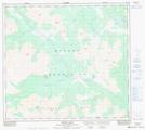
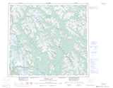
Maps showing Discovery Gulch, British Columbia
Discovery Gulch is a Valley located in British Columbia.
- Latitude: 56° 51' North (decimal: 56.8500000)
- Longitude: 128° 14' West (decimal: -128.2333000)
- Topography Feature Category: Valley
- Geographical Feature: Gulch
- Canadian Province/Territory: British Columbia
- GPS Coordinate Locator Map: Discovery Gulch Lat/Long
Discovery Gulch NTS Map Sheets