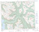
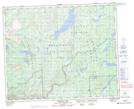
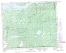
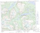
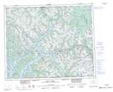
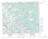
Maps showing Pattullo Range, Range 4 Coast Land District, British Columbia
Pattullo Range is a Mountain located in Range 4 Coast Land District, British Columbia and has an elevation of 1548 meters.
- Latitude: 52° 58' 55'' North (decimal: 52.9819444)
- Longitude: 126° 33' 56'' West (decimal: -126.5655555)
- Topography Feature Category: Mountain
- Geographical Feature: Range
- Canadian Province/Territory: British Columbia
- Elevation: 1548 meters
- Location: Range 4 Coast Land District
- Atlas of Canada Locator Map: Pattullo Range
- GPS Coordinate Locator Map: Pattullo Range Lat/Long
Pattullo Range NTS Map Sheets