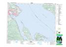
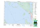
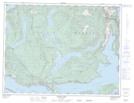
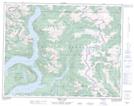
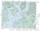
Maps showing Powell River Regional District, New Westminster Land District, British Columbia
Powell River Regional District is a Major municipal/district area - major agglomeration located in New Westminster Land District, British Columbia and has an elevation of 67 meters.
- Latitude: 50° 00' North (decimal: 49.9999999)
- Longitude: 124° 30' West (decimal: -124.4999999)
- Topography Feature Category: Major municipal/district area - major agglomeration
- Geographical Feature: Regional District
- Canadian Province/Territory: British Columbia
- Elevation: 67 meters
- Location: New Westminster Land District
- Atlas of Canada Locator Map: Powell River Regional District
- GPS Coordinate Locator Map: Powell River Regional District Lat/Long
Powell River Regional District NTS Map Sheets