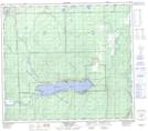
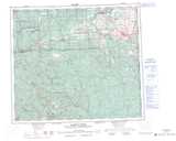
Maps showing Spencer Tuck Park, Peace River Land District, British Columbia
Spencer Tuck Park is a Conservation area located in Peace River Land District, British Columbia.
- Latitude: 55° 50' 00'' North (decimal: 55.8332999)
- Longitude: 121° 45' 30'' West (decimal: -121.7582999)
- Topography Feature Category: Conservation area
- Geographical Feature: Provincial Park
- Canadian Province/Territory: British Columbia
- Location: Peace River Land District
- GPS Coordinate Locator Map: Spencer Tuck Park Lat/Long
Spencer Tuck Park NTS Map Sheets