Maps showing Pine River, Peace River Land District, British Columbia
Pine River is a River located in Peace River Land District, British Columbia and has an elevation of 408 meters.
- Latitude: 56° 8' North (decimal: 56.1333000)
- Longitude: 120° 42' West (decimal: -120.7000000)
- Topography Feature Category: River
- Geographical Feature: River
- Canadian Province/Territory: British Columbia
- Elevation: 408 meters
- Location: Peace River Land District
- Atlas of Canada Locator Map: Pine River
- GPS Coordinate Locator Map: Pine River Lat/Long
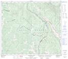
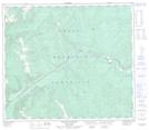
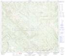
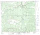
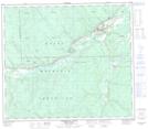
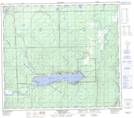
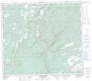
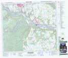
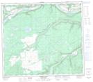
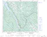
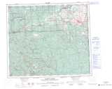
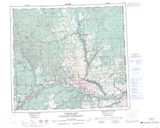
Pine River NTS Map Sheets
093O07 Azouzetta Lake Topographic Map at 1:50,000 scale
093O09 Mount Hulcross Topographic Map at 1:50,000 scale
093O10 Callazon Creek Topographic Map at 1:50,000 scale
093P11 East Pine Topographic Map at 1:50,000 scale
093P12 Commotion Creek Topographic Map at 1:50,000 scale
093P13 Moberly Lake Topographic Map at 1:50,000 scale
093P14 Favels Creek Topographic Map at 1:50,000 scale
094A02 Fort St John Topographic Map at 1:50,000 scale
094A03 Moberly River Topographic Map at 1:50,000 scale
093O Pine Pass Topographic Map at 1:250,000 scale
093P Dawson Creek Topographic Map at 1:250,000 scale
094A Charlie Lake Topographic Map at 1:250,000 scale