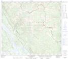
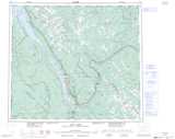
Maps showing Dina Lake, British Columbia
Dina Lake is a Lake located in British Columbia.
- Latitude: 55° 31' 30'' North (decimal: 55.5250000)
- Longitude: 123° 18' 30'' West (decimal: -123.3082999)
- Topography Feature Category: Lake
- Geographical Feature: Lake
- Canadian Province/Territory: British Columbia
- GPS Coordinate Locator Map: Dina Lake Lat/Long
Dina Lake NTS Map Sheets