Canada Topographic Maps

Homathko River Topo Maps

Topography maps and Latitude/Longitude Location

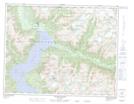
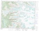
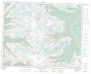
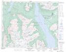
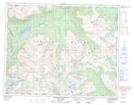
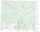
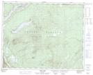
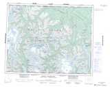
Maps showing Homathko River, Range 1 Coast Land District, British Columbia

Homathko River is a River located in Range 1 Coast Land District, British Columbia and has an elevation of 15 meters.

  • Latitude: 50° 55' 52'' North   (decimal: 50.9311111)
  • Longitude: 124° 51' 37'' West   (decimal: -124.860278)
  • Topography Feature Category: River
  • Geographical Feature: River
  • Canadian Province/Territory: British Columbia
  • Elevation: 15 meters
  • Location: Range 1 Coast Land District
  • Atlas of Canada Locator Map: Homathko River
  • GPS Coordinate Locator Map: Homathko River Lat/Long

Homathko River NTS Map Sheets

092K15 Southgate River Topographic Map at 1:50,000 scale

092N02 Homathko Icefield Topographic Map at 1:50,000 scale

092N03 Whitemantle Creek Topographic Map at 1:50,000 scale

092N07 Mount Queen Bess Topographic Map at 1:50,000 scale

092N08 Stikelan Creek Topographic Map at 1:50,000 scale

092N10 Razorback Mountain Topographic Map at 1:50,000 scale

092N15 Tatla Lake Topographic Map at 1:50,000 scale

092N16 Eagle Lake Topographic Map at 1:50,000 scale

092K Bute Inlet Topographic Map at 1:250,000 scale

092N Mount Waddington Topographic Map at 1:250,000 scale

 
Buy Topographic Maps DVD
Newsletter Sign-up

Yes, I want to receive map store discounts.


Bookmark and Share