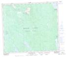
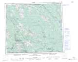
Maps showing Scorched Hill, Cassiar Land District, British Columbia
Scorched Hill is a Mountain located in Cassiar Land District, British Columbia and has an elevation of 1117 meters.
- Latitude: 55° 16' 27'' North (decimal: 55.2741667)
- Longitude: 126° 20' 12'' West (decimal: -126.336667)
- Topography Feature Category: Mountain
- Geographical Feature: Hill
- Canadian Province/Territory: British Columbia
- Elevation: 1117 meters
- Location: Cassiar Land District
- Atlas of Canada Locator Map: Scorched Hill
- GPS Coordinate Locator Map: Scorched Hill Lat/Long
Scorched Hill NTS Map Sheets