Maps showing Regional District of Mount Waddington, British Columbia
Regional District of Mount Waddington is a Major municipal/district area - major agglomeration located in British Columbia.
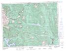
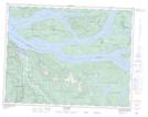
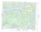
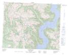
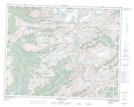
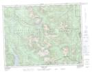
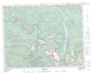
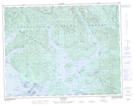
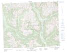
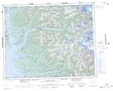
Regional District of Mount Waddington NTS Map Sheets
092E16 Gold River Topographic Map at 1:50,000 scale
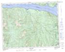
092K05 Sayward Topographic Map at 1:50,000 scale
092K12 Glendale Cove Topographic Map at 1:50,000 scale
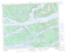
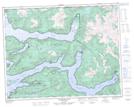
092K13 Knight Inlet Topographic Map at 1:50,000 scale
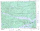
092K14 Stafford River Topographic Map at 1:50,000 scale
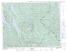
092L01 Schoen Lake Topographic Map at 1:50,000 scale
092L02 Woss Lake Topographic Map at 1:50,000 scale
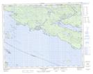
092L03 Kyuquot Topographic Map at 1:50,000 scale
092L04 Brooks Peninsula Topographic Map at 1:50,000 scale
092L05 Mahatta Creek Topographic Map at 1:50,000 scale
092L06 Alice Lake Topographic Map at 1:50,000 scale
092L07 Nimpkish Topographic Map at 1:50,000 scale
092L08 Adam River Topographic Map at 1:50,000 scale
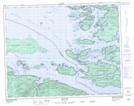
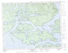
092L09 Minstrel Island Topographic Map at 1:50,000 scale
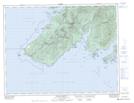
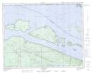
092L10 Alert Bay Topographic Map at 1:50,000 scale
092L11 Port Mcneill Topographic Map at 1:50,000 scale
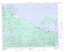
092L12 Quatsino Topographic Map at 1:50,000 scale
092L13 Shushartie Topographic Map at 1:50,000 scale
092L14 Bradley Lagoon Topographic Map at 1:50,000 scale
092L15 Broughton Island Topographic Map at 1:50,000 scale
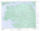
092L16 Kingcome Inlet Topographic Map at 1:50,000 scale
092M01 Atwaykellesse River Topographic Map at 1:50,000 scale
092E Nootka Sound Topographic Map at 1:250,000 scale
092K Bute Inlet Topographic Map at 1:250,000 scale
092L Alert Bay Topographic Map at 1:250,000 scale
092M Rivers Inlet Topographic Map at 1:250,000 scale