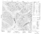
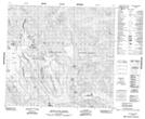
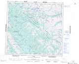
Maps showing Mount Lloyd George, Peace River Land District, British Columbia
Mount Lloyd George is a Mountain located in Peace River Land District, British Columbia.
- Latitude: 57° 53' 44'' North (decimal: 57.8955556)
- Longitude: 124° 59' 53'' West (decimal: -124.998056)
- Topography Feature Category: Mountain
- Geographical Feature: Mount
- Canadian Province/Territory: British Columbia
- Location: Peace River Land District
- Atlas of Canada Locator Map: Mount Lloyd George
- GPS Coordinate Locator Map: Mount Lloyd George Lat/Long
Mount Lloyd George NTS Map Sheets