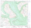
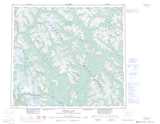
Maps showing Mount Skowill, Cassiar Land District, British Columbia
Mount Skowill is a Mountain located in Cassiar Land District, British Columbia and has an elevation of 1799 meters.
- Latitude: 56° 42' 5'' North (decimal: 56.7013888)
- Longitude: 129° 38' 50'' West (decimal: -129.6472222)
- Topography Feature Category: Mountain
- Geographical Feature: Mount
- Canadian Province/Territory: British Columbia
- Elevation: 1799 meters
- Location: Cassiar Land District
- Atlas of Canada Locator Map: Mount Skowill
- GPS Coordinate Locator Map: Mount Skowill Lat/Long
Mount Skowill NTS Map Sheets