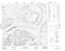
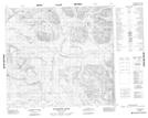
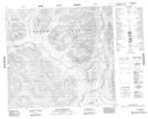
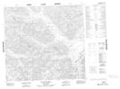
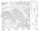
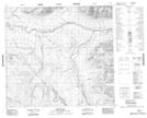
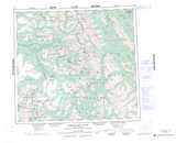
Maps showing Metsantan Range, Cassiar Land District, British Columbia
Metsantan Range is a Mountain located in Cassiar Land District, British Columbia.
- Latitude: 57° 33' North (decimal: 57.5499999)
- Longitude: 127° 16' West (decimal: -127.2666999)
- Topography Feature Category: Mountain
- Geographical Feature: Range
- Canadian Province/Territory: British Columbia
- Location: Cassiar Land District
- Atlas of Canada Locator Map: Metsantan Range
- GPS Coordinate Locator Map: Metsantan Range Lat/Long
Metsantan Range NTS Map Sheets
094E05 Laslui Lake Topographic Map at 1:50,000 scale
094E06 Moosehorn Creek Topographic Map at 1:50,000 scale
094E07 Mount Katharine Topographic Map at 1:50,000 scale
094E10 Mount Cushing Topographic Map at 1:50,000 scale
094E11 Moosehorn Lake Topographic Map at 1:50,000 scale
094E12 Spruce Hill Topographic Map at 1:50,000 scale
094E Toodoggone River Topographic Map at 1:250,000 scale