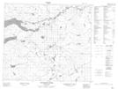
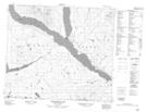
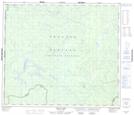
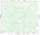
Maps showing Rainbow Creek, Cariboo Land District, British Columbia
Rainbow Creek is a River located in Cariboo Land District, British Columbia and has an elevation of 1061 meters.
- Latitude: 55° 15' 00'' North (decimal: 55.2499999)
- Longitude: 123° 56' 35'' West (decimal: -123.9430548)
- Topography Feature Category: River
- Geographical Feature: Creek
- Canadian Province/Territory: British Columbia
- Elevation: 1061 meters
- Location: Cariboo Land District
- Atlas of Canada Locator Map: Rainbow Creek
- GPS Coordinate Locator Map: Rainbow Creek Lat/Long
Rainbow Creek NTS Map Sheets