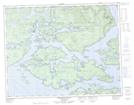
Maps showing Mount Otway, Range 1 Coast Land District, British Columbia
Mount Otway is a Mountain located in Range 1 Coast Land District, British Columbia.
- Latitude: 50° 52' 24'' North (decimal: 50.8733333)
- Longitude: 126° 55' 16'' West (decimal: -126.921111)
- Topography Feature Category: Mountain
- Geographical Feature: Mount
- Canadian Province/Territory: British Columbia
- Location: Range 1 Coast Land District
- GPS Coordinate Locator Map: Mount Otway Lat/Long
Mount Otway NTS Map Sheets