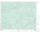
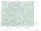
Maps showing Yellowstone Peak, Kootenay Land District, British Columbia
Yellowstone Peak is a Mountain located in Kootenay Land District, British Columbia and has an elevation of 1683 meters.
- Latitude: 49° 9' 29'' North (decimal: 49.1580555)
- Longitude: 117° 6' 39'' West (decimal: -117.1108333)
- Topography Feature Category: Mountain
- Geographical Feature: Peak
- Canadian Province/Territory: British Columbia
- Elevation: 1683 meters
- Location: Kootenay Land District
- Atlas of Canada Locator Map: Yellowstone Peak
- GPS Coordinate Locator Map: Yellowstone Peak Lat/Long