Canada Topographic Maps

Duti River Topo Maps

Topography maps and Latitude/Longitude Location

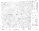
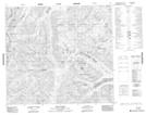
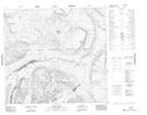
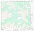
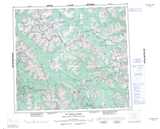
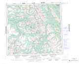
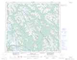
Maps showing Duti River, Cassiar Land District, British Columbia

Duti River is a River located in Cassiar Land District, British Columbia.

  • Latitude: 56° 45' 38'' North   (decimal: 56.7605556)
  • Longitude: 127° 56' 29'' West   (decimal: -127.941389)
  • Topography Feature Category: River
  • Geographical Feature: River
  • Canadian Province/Territory: British Columbia
  • Location: Cassiar Land District
  • Atlas of Canada Locator Map: Duti River
  • GPS Coordinate Locator Map: Duti River Lat/Long

Duti River NTS Map Sheets

094D13 Malloch Creek Topographic Map at 1:50,000 scale

094E04 Stalk Lakes Topographic Map at 1:50,000 scale

094E05 Laslui Lake Topographic Map at 1:50,000 scale

104A16 Mcevoy Flats Topographic Map at 1:50,000 scale

094D Mcconnell Creek Topographic Map at 1:250,000 scale

094E Toodoggone River Topographic Map at 1:250,000 scale

104A Bowser Lake Topographic Map at 1:250,000 scale

 
Buy Topographic Maps DVD
Newsletter Sign-up

Yes, I want to receive map store discounts.


Bookmark and Share