Maps showing Vancouver Island Ranges, Clayoquot Land District, British Columbia
Vancouver Island Ranges is a Mountain located in Clayoquot Land District, British Columbia and has an elevation of 1166 meters.
- Latitude: 49° 30' North (decimal: 49.5000000)
- Longitude: 125° 30' West (decimal: -125.4999999)
- Topography Feature Category: Mountain
- Geographical Feature: Ranges
- Canadian Province/Territory: British Columbia
- Elevation: 1166 meters
- Location: Clayoquot Land District
- Atlas of Canada Locator Map: Vancouver Island Ranges
- GPS Coordinate Locator Map: Vancouver Island Ranges Lat/Long
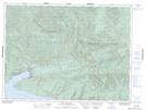
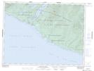
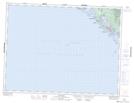
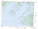
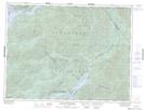
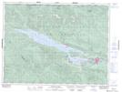
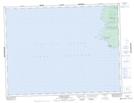
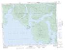
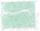
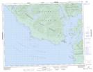
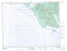
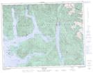
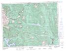
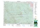
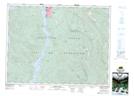
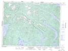
Vancouver Island Ranges NTS Map Sheets
092B05 Sooke Topographic Map at 1:50,000 scale
092B12 Shawnigan Lake Topographic Map at 1:50,000 scale
092B13 Duncan Topographic Map at 1:50,000 scale
092C08 River Jordan Topographic Map at 1:50,000 scale
092C09 Port Renfrew Topographic Map at 1:50,000 scale
092C10 Carmanah Creek Topographic Map at 1:50,000 scale
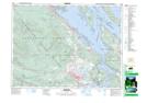
092C13 Ucluelet Topographic Map at 1:50,000 scale
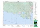
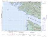
092C14 Barkley Sound Topographic Map at 1:50,000 scale
092C15 Little Nitinat River Topographic Map at 1:50,000 scale
092C16 Cowichan Lake Topographic Map at 1:50,000 scale
092E07 Estevan Point Topographic Map at 1:50,000 scale
092E08 Hesquiat Topographic Map at 1:50,000 scale
092E09 Muchalat Inlet Topographic Map at 1:50,000 scale
092E10 Nootka Topographic Map at 1:50,000 scale
092E14 Port Eliza Topographic Map at 1:50,000 scale
092E15 Zeballos Topographic Map at 1:50,000 scale
092E16 Gold River Topographic Map at 1:50,000 scale
092F01 Nanaimo Lakes Topographic Map at 1:50,000 scale
092F02 Alberni Inlet Topographic Map at 1:50,000 scale
092F03 Effingham River Topographic Map at 1:50,000 scale
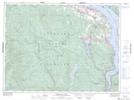
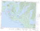
092F04 Tofino Topographic Map at 1:50,000 scale
092F12 Buttle Lake Topographic Map at 1:50,000 scale
092B Victoria Topographic Map at 1:250,000 scale
092C Cape Flattery Topographic Map at 1:250,000 scale
092E Nootka Sound Topographic Map at 1:250,000 scale
092F Port Alberni Topographic Map at 1:250,000 scale