Maps showing Regional District of Kitimat-Stikine, British Columbia
Regional District of Kitimat-Stikine is a Major municipal/district area - major agglomeration located in British Columbia.
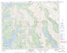
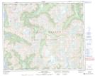
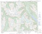
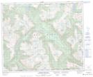
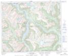
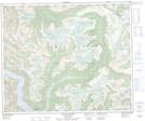
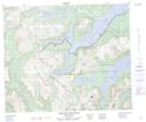
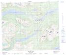
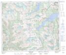
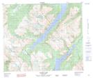
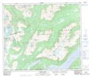
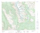
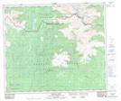
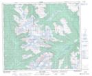
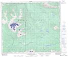
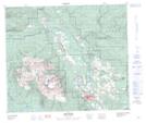
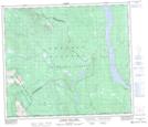
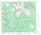
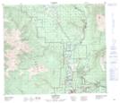
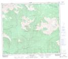
Regional District of Kitimat-Stikine NTS Map Sheets
093D12 Ellerslie Lake Topographic Map at 1:50,000 scale
093D13 Tezwa River Topographic Map at 1:50,000 scale
093D14 Kimsquit River Topographic Map at 1:50,000 scale
093E03 Foresight Mountain Topographic Map at 1:50,000 scale
093E04 Kitlope Lake Topographic Map at 1:50,000 scale
093E05 Tsaytis River Topographic Map at 1:50,000 scale
093E06 Chikamin Mountain Topographic Map at 1:50,000 scale
093E11 Troitsa Lake Topographic Map at 1:50,000 scale
093E12 Tahtsa Peak Topographic Map at 1:50,000 scale
093E13 Nanika Lake Topographic Map at 1:50,000 scale
093L04 Corona Peak Topographic Map at 1:50,000 scale
093L05 Burnie Lake Topographic Map at 1:50,000 scale
093L06 Thautil River Topographic Map at 1:50,000 scale
093L12 Milk Creek Topographic Map at 1:50,000 scale
093L13 Mcdonell Lake Topographic Map at 1:50,000 scale
093L14 Smithers Topographic Map at 1:50,000 scale
093M02 Harold Price Creek Topographic Map at 1:50,000 scale
093M03 Moricetown Topographic Map at 1:50,000 scale
093M04 Skeena Crossing Topographic Map at 1:50,000 scale
093M05 Hazelton Topographic Map at 1:50,000 scale
093M06 Suskwa River Topographic Map at 1:50,000 scale
103P07 Kiteen River Topographic Map at 1:50,000 scale
093D Bella Coola Topographic Map at 1:250,000 scale
093E Whitesail Lake Topographic Map at 1:250,000 scale
093L Smithers Topographic Map at 1:250,000 scale
093M Hazelton Topographic Map at 1:250,000 scale
103P Nass River Topographic Map at 1:250,000 scale