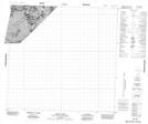
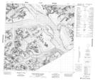
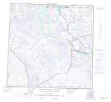
Maps showing Mount Turner, Cassiar Land District, British Columbia
Mount Turner is a Mountain located in Cassiar Land District, British Columbia.
- Latitude: 58° 59' 59'' North (decimal: 58.9997219)
- Longitude: 137° 16' 57'' West (decimal: -137.2824998)
- Topography Feature Category: Mountain
- Geographical Feature: Mount
- Canadian Province/Territory: British Columbia
- Location: Cassiar Land District
- Atlas of Canada Locator Map: Mount Turner
- GPS Coordinate Locator Map: Mount Turner Lat/Long
Mount Turner NTS Map Sheets
114I Map Not Available Topographic Map at 1:250,000 scale
