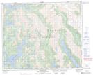
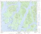
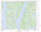
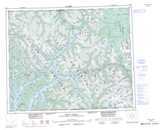
Maps showing Emily Peninsula, Range 3 Coast Land District, British Columbia
Emily Peninsula is a Cape located in Range 3 Coast Land District, British Columbia.
- Latitude: 52° 25' North (decimal: 52.4166999)
- Longitude: 128° 4' West (decimal: -128.0667000)
- Topography Feature Category: Cape
- Geographical Feature: Peninsula
- Canadian Province/Territory: British Columbia
- Location: Range 3 Coast Land District
- GPS Coordinate Locator Map: Emily Peninsula Lat/Long
Emily Peninsula NTS Map Sheets
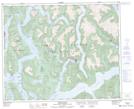
093D05 Ocean Falls Topographic Map at 1:50,000 scale
093D12 Ellerslie Lake Topographic Map at 1:50,000 scale
103A08 Spiller Channel Topographic Map at 1:50,000 scale
103A09 Roderick Island Topographic Map at 1:50,000 scale
093D Bella Coola Topographic Map at 1:250,000 scale
103A Laredo Sound Topographic Map at 1:250,000 scale
093D12 Ellerslie Lake Topographic Map at 1:50,000 scale
103A08 Spiller Channel Topographic Map at 1:50,000 scale
103A09 Roderick Island Topographic Map at 1:50,000 scale
093D Bella Coola Topographic Map at 1:250,000 scale
103A Laredo Sound Topographic Map at 1:250,000 scale