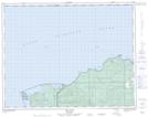
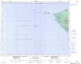
Maps showing Knob Hill, Rupert Land District, British Columbia
Knob Hill is a Mountain located in Rupert Land District, British Columbia and has an elevation of 477 meters.
- Latitude: 50° 46' 3'' North (decimal: 50.7674999)
- Longitude: 128° 3' 35'' West (decimal: -128.0597222)
- Topography Feature Category: Mountain
- Geographical Feature: Hill
- Canadian Province/Territory: British Columbia
- Elevation: 477 meters
- Location: Rupert Land District
- Atlas of Canada Locator Map: Knob Hill
- GPS Coordinate Locator Map: Knob Hill Lat/Long
Knob Hill NTS Map Sheets