Canada Topographic Maps

Big Creek Topo Maps

Topography maps and Latitude/Longitude Location

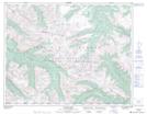
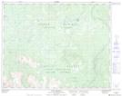
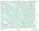
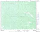
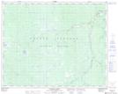
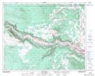
Maps showing Big Creek, Lillooet Land District, British Columbia

Big Creek is a River located in Lillooet Land District, British Columbia and has an elevation of 1246 meters.

  • Latitude: 51° 51' North   (decimal: 51.8500000)
  • Longitude: 122° 41' West   (decimal: -122.6832999)
  • Topography Feature Category: River
  • Geographical Feature: Creek
  • Canadian Province/Territory: British Columbia
  • Elevation: 1246 meters
  • Location: Lillooet Land District
  • Atlas of Canada Locator Map: Big Creek
  • GPS Coordinate Locator Map: Big Creek Lat/Long

Big Creek NTS Map Sheets

092O03 Warner Pass Topographic Map at 1:50,000 scale

092O06 Anvil Mountain Topographic Map at 1:50,000 scale

092O07 Churn Creek Topographic Map at 1:50,000 scale

092O10 Mount Alex Topographic Map at 1:50,000 scale

092O11 Bambrick Creek Topographic Map at 1:50,000 scale

092O15 Riske Creek Topographic Map at 1:50,000 scale

092O Taseko Lakes Topographic Map at 1:250,000 scale

 
Buy Topographic Maps DVD
Newsletter Sign-up

Yes, I want to receive map store discounts.


Bookmark and Share