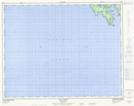
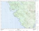
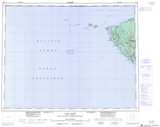
Maps showing Mount Brandes, Rupert Land District, British Columbia
Mount Brandes is a Mountain located in Rupert Land District, British Columbia and has an elevation of 433 meters.
- Latitude: 50° 36' 34'' North (decimal: 50.6094439)
- Longitude: 128° 5' 13'' West (decimal: -128.0869440)
- Topography Feature Category: Mountain
- Geographical Feature: Mount
- Canadian Province/Territory: British Columbia
- Elevation: 433 meters
- Location: Rupert Land District
- Atlas of Canada Locator Map: Mount Brandes
- GPS Coordinate Locator Map: Mount Brandes Lat/Long
Mount Brandes NTS Map Sheets